Whangarei
17.89°C

Whangarei
17.89°C
Waitakere City
16.98°C
Manukau City
17.11°C

Papakura
24.46°C
Hauraki
17.26°C

Waikato
17.67°C
Matamata
18.46°C
Hamilton
17.51°C
Otorohanga
18.52°C
Rotorua
16.6°C
Taupo
15.44°C
Tauranga
19.27°C
Kawerau
18.6°C
Whakatane
19.64°C
Gisborne
15.51°C
New Plymouth
16.98°C

Stratford
8.97°C
Ruapehu
14°C
Wanganui
17°C
Palmerston North
16.41°C
Wairoa
19.19°C
Hastings
18.84°C
Napier
18.49°C
Masterton
15.49°C
Carterton
15.66°C
Porirua
15.99°C
Lower Hutt
16.45°C

Wellington
15.79°C

Tasman
9.35°C
Nelson
16.27°C
Marlborough
3.22°C
Kaikoura
15.48°C
Christchurch
12.59°C
Ashburton
12.52°C
Timaru
13.37°C
Waitaki
11.32°C
Waimate
13.08°C

Queenstown
12.38°C
Dunedin
14.33°C
Southland
9.98°C
Gore
11.31°C
Invercargill
12.06°C
Blenheim
14.73°C
Te Anau
27.35°C
Wanaka
11.17°C
Kaikoura
13.38°C
Stratford
13.54°C
Upper Hutt
15.9°C
About
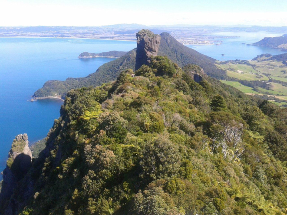
Follow in the footsteps of Northland's Māori ancestors. This challenging track climbs through coastal forest before revealing a spectacular 360-degree panorama. It's one of our best day hikes.
The Te Whara track follows an ancient Māori trail from Ocean Beach to Urquharts Bay.
The track passes through some of the best coastal forest in the North Island. At the Bream Head summit, towards the Ocean Beach end and not far from the ruins of a WWII radar station, enjoy a magnificent coastal panorama. Take in views of Cape Brett (Motukokako) in the north to Cape Rodney (Tawharanui) in the south, as well as the Poor Knights islands Tawhiti Rahi and Aorangi, Taranga and Marotere Islands in the Hen and Chickens Islands group, with Te Hauturu-o-Toi/Little Barrier and Great Barrier/Aotea Island in the far east.


