Whangarei
17.89°C

Whangarei
17.89°C

Waitakere City
16.98°C

Manukau City
17.11°C

Papakura
24.46°C

Hauraki
17.26°C

Waikato
17.67°C

Matamata
18.46°C

Hamilton
17.51°C

Otorohanga
18.52°C

Rotorua
16.6°C

Taupo
15.44°C

Tauranga
19.27°C

Kawerau
18.6°C

Whakatane
19.64°C

Gisborne
15.51°C

New Plymouth
16.98°C

Stratford
8.97°C

Ruapehu
14°C

Wanganui
17°C

Palmerston North
16.41°C

Wairoa
19.19°C

Hastings
18.84°C

Napier
18.49°C

Masterton
15.49°C

Carterton
15.66°C

Porirua
15.99°C

Lower Hutt
16.45°C

Wellington
15.79°C

Tasman
9.35°C

Nelson
16.27°C

Marlborough
3.22°C

Kaikoura
15.48°C

Christchurch
12.59°C

Ashburton
12.52°C

Timaru
13.37°C

Waitaki
11.32°C

Waimate
13.08°C

Queenstown
12.38°C

Dunedin
14.33°C

Southland
9.98°C

Gore
11.31°C

Invercargill
12.06°C

Blenheim
14.73°C

Te Anau
27.35°C

Wanaka
11.17°C

Kaikoura
13.38°C

Stratford
13.54°C

Upper Hutt
15.9°C

About
Spot New Zealand fur seals/kekeno and yellow-eyed penguins/hoiho from this cliff-top walk.
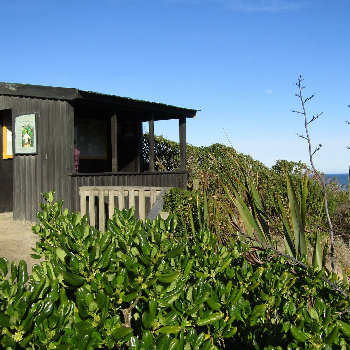
The track zig-zags across the top of the cliff on the south side of Cape Wanbrow. From a platform you can see New Zealand fur seals/kekeno on the rocks below. Carry on further to a viewing hide to watch penguins as they cross the beach (before 9 am and after 3 pm).
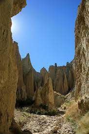
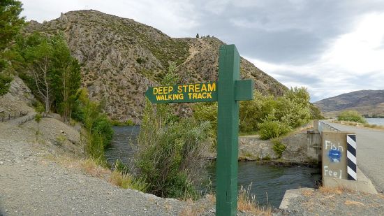
Walk within a flooded canyon to a shady picnic or fishing spot near Lake Aviemore in the Waitaki Valley.
The track goes along steep faces within a flooded canyon. The track is benched with steps in steeper sections but is narrow with steep drop-offs below. Take care when walking with young children.
The track is well defined and easy to follow to the stream delta where it comes to an end amongst the shady willows. A table is available along the way for a lakeside picnic.
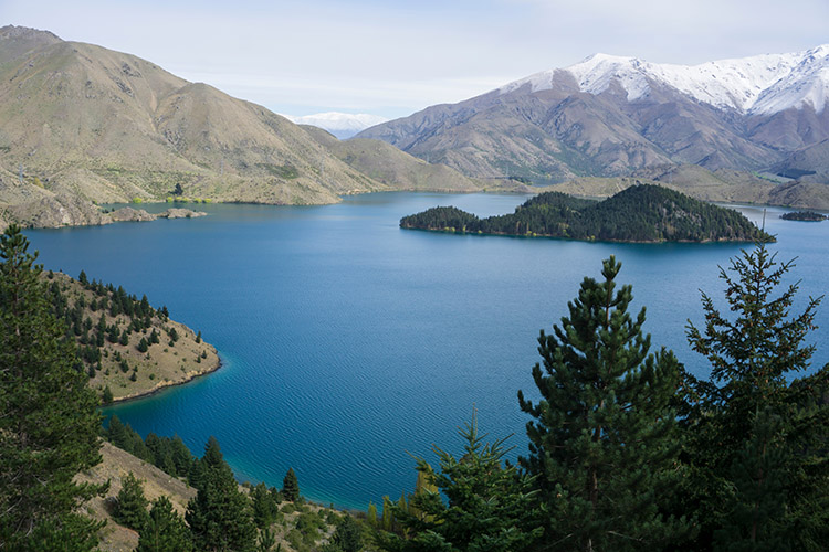
The Benmore Peninsula track is approximately a 4km loop circuit and takes around 1.5 hours to complete. It is not a particularly physically demanding hike, but beautiful nonetheless. On a good weather day, the water on Lake Benmore will appear to be bright turquoise and you will be able to see Mount Cook in the distance. This track gives off a very PNW (Pacific NorthWest) vibe with its wooded pine forests and lookouts.
The track starts out level for a while until you reach a junction for the circuit; you may go uphill to the right or go to the left, which stays level for a little while before it begins to climb. Since it is a loop, you may go either way, but I suggest taking the left path and walking the loop clockwise. Taking the loop clockwise is less physically intensive (as the last few stretches of the track are loose gravel at a steep incline, and no one likes to go uphill on that type of track) and you are rewarded with views sooner rather than later.
Getting there: From Otematata, you will see a sign off of SH83 for the Benmore Dam. Take this road to the dam and drive past it. you will reach the top and end of the road, where the DOC Benmore Peninsula hike will be signposted at the gates.


