Whangarei
17.89°C

Whangarei
17.89°C
Waitakere City
16.98°C
Manukau City
17.11°C

Papakura
24.46°C
Hauraki
17.26°C

Waikato
17.67°C
Matamata
18.46°C
Hamilton
17.51°C
Otorohanga
18.52°C
Rotorua
16.6°C
Taupo
15.44°C
Tauranga
19.27°C
Kawerau
18.6°C
Whakatane
19.64°C
Gisborne
15.51°C
New Plymouth
16.98°C

Stratford
8.97°C
Ruapehu
14°C
Wanganui
17°C
Palmerston North
16.41°C
Wairoa
19.19°C
Hastings
18.84°C
Napier
18.49°C
Masterton
15.49°C
Carterton
15.66°C
Porirua
15.99°C
Lower Hutt
16.45°C

Wellington
15.79°C

Tasman
9.35°C
Nelson
16.27°C
Marlborough
3.22°C
Kaikoura
15.48°C
Christchurch
12.59°C
Ashburton
12.52°C
Timaru
13.37°C
Waitaki
11.32°C
Waimate
13.08°C

Queenstown
12.38°C
Dunedin
14.33°C
Southland
9.98°C
Gore
11.31°C
Invercargill
12.06°C
Blenheim
14.73°C
Te Anau
27.35°C
Wanaka
11.17°C
Kaikoura
13.38°C
Stratford
13.54°C
Upper Hutt
15.9°C
About
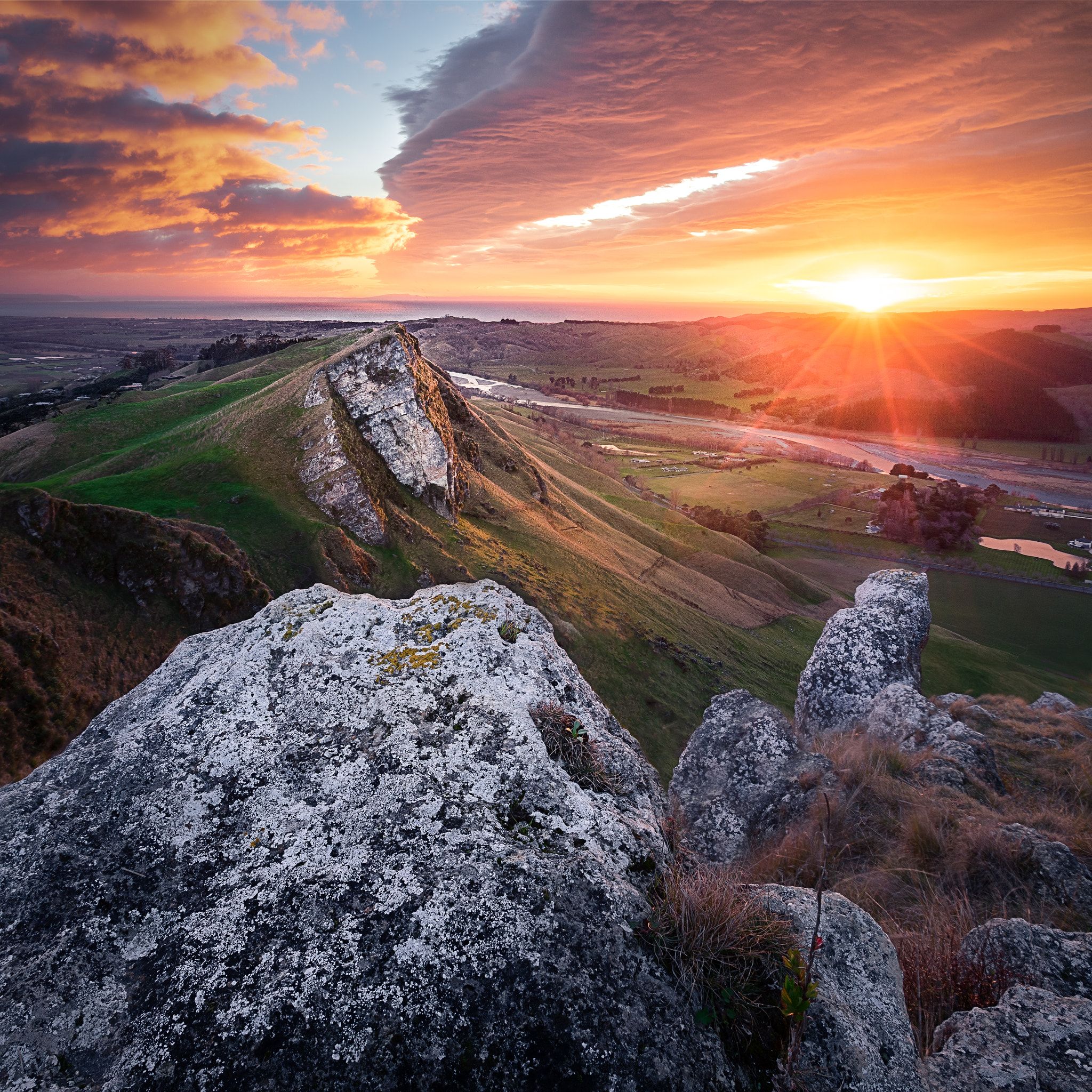
Te Mata Park is part of the land associated with the ancestor Te Rehunga of Ngāti Ngarengare, a sub-tribe of Ngāti Kahungunu. The Park has a rich human history spanning several centuries. The upper parts of the Park in particular have a strong cultural importance to Māori. There is evidence of past settlement including pā sites and other earthworks. The Karaka groves in the upper Te Hau Valley area and Moa bones found on the slopes suggest intensive Māori settlement.
Te Mata Peak is designated an “Outstanding Natural Landscape” in the Hastings District Council District Plan 6. Protection of the present landscape is given the highest priority in the Plan, which defines it as: “the single most significant landscape icon in Hawke’s Bay, having District, Regional and National significance. It is the most prominent landmark in the eastern Heretaunga Plains with a distinctive silhouette skyline. It is a source of identity for both Hastings and Havelock North residents and Ngāti Kahungunu.”


