Whangarei
17.89°C

Whangarei
17.89°C
Waitakere City
16.98°C
Manukau City
17.11°C

Papakura
24.46°C
Hauraki
17.26°C

Waikato
17.67°C
Matamata
18.46°C
Hamilton
17.51°C
Otorohanga
18.52°C
Rotorua
16.6°C
Taupo
15.44°C
Tauranga
19.27°C
Kawerau
18.6°C
Whakatane
19.64°C
Gisborne
15.51°C
New Plymouth
16.98°C

Stratford
8.97°C
Ruapehu
14°C
Wanganui
17°C
Palmerston North
16.41°C
Wairoa
19.19°C
Hastings
18.84°C
Napier
18.49°C
Masterton
15.49°C
Carterton
15.66°C
Porirua
15.99°C
Lower Hutt
16.45°C

Wellington
15.79°C

Tasman
9.35°C
Nelson
16.27°C
Marlborough
3.22°C
Kaikoura
15.48°C
Christchurch
12.59°C
Ashburton
12.52°C
Timaru
13.37°C
Waitaki
11.32°C
Waimate
13.08°C

Queenstown
12.38°C
Dunedin
14.33°C
Southland
9.98°C
Gore
11.31°C
Invercargill
12.06°C
Blenheim
14.73°C
Te Anau
27.35°C
Wanaka
11.17°C
Kaikoura
13.38°C
Stratford
13.54°C
Upper Hutt
15.9°C
About
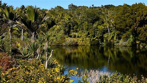
From Takaka, head north along State Highway 60 to Collingwood, which is where State Highway 60 ends. Continue north along Collingwood-Puponga Main Rd to Pakawau and turn left onto Pakawau Bush Rd, which turns to gravel as it reaches Whanganui Inlet. Turn right onto Kaihoka Lakes Rd, and follow it for 6 km until you see Kaihoka Lakes Scenic Reserve on the right. There is a small parking area and toilet next to the first lake. The track heads above the edge of the first lake through thick nikau and ferns. It continues in a more or less straight line to the edge of the second lake, where it ends. Here you will need to turn around to return the way you came. Do not try to get to the coast as the land surrounding the track is private. The respective Maori names of the eastern and western lakes are Tinawhu and Whupa. Neither lake has permanent inflows or outflows, meaning their levels are controlled by rainfall, seepage and evaporation. They are relatively young, having formed as sand dunes migrated eastward from the coast. This process created basins that lacked a drainage path to the coast. Over time, water accumulated, transforming the basins into a swamps, and then lakes.


