Whangarei
17.89°C

Whangarei
17.89°C
Waitakere City
16.98°C
Manukau City
17.11°C

Papakura
24.46°C
Hauraki
17.26°C

Waikato
17.67°C
Matamata
18.46°C
Hamilton
17.51°C
Otorohanga
18.52°C
Rotorua
16.6°C
Taupo
15.44°C
Tauranga
19.27°C
Kawerau
18.6°C
Whakatane
19.64°C
Gisborne
15.51°C
New Plymouth
16.98°C

Stratford
8.97°C
Ruapehu
14°C
Wanganui
17°C
Palmerston North
16.41°C
Wairoa
19.19°C
Hastings
18.84°C
Napier
18.49°C
Masterton
15.49°C
Carterton
15.66°C
Porirua
15.99°C
Lower Hutt
16.45°C

Wellington
15.79°C

Tasman
9.35°C
Nelson
16.27°C
Marlborough
3.22°C
Kaikoura
15.48°C
Christchurch
12.59°C
Ashburton
12.52°C
Timaru
13.37°C
Waitaki
11.32°C
Waimate
13.08°C

Queenstown
12.38°C
Dunedin
14.33°C
Southland
9.98°C
Gore
11.31°C
Invercargill
12.06°C
Blenheim
14.73°C
Te Anau
27.35°C
Wanaka
11.17°C
Kaikoura
13.38°C
Stratford
13.54°C
Upper Hutt
15.9°C
About
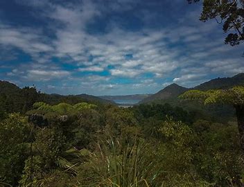
The Hillary Trail is a a four-day (three night) 75 km trek across rugged country reaching from Titirangi to Muriwai. It is named after the famour kiwi conqueror of Mt Everest, Sir Edmund Hilllary, and was opened on the second anniversary of his death. The route takes in spectacular views of coast and bush, a number of small coastal villages, and reaches through a number of ecological areas and landscapes. The aim of the trail is to provide a challenging experience for walkers, especially young people. It is not an easy track, because of the varying terrain, the rooty sometimes muddy tracks, and long legs. However, as its name suggests, it is meant to be a challenge, and completion is designed to provide great satisfaction of a challenge conquered for the walker.


