Whangarei
17.89°C

Whangarei
17.89°C
Waitakere City
16.98°C
Manukau City
17.11°C

Papakura
24.46°C
Hauraki
17.26°C

Waikato
17.67°C
Matamata
18.46°C
Hamilton
17.51°C
Otorohanga
18.52°C
Rotorua
16.6°C
Taupo
15.44°C
Tauranga
19.27°C
Kawerau
18.6°C
Whakatane
19.64°C
Gisborne
15.51°C
New Plymouth
16.98°C

Stratford
8.97°C
Ruapehu
14°C
Wanganui
17°C
Palmerston North
16.41°C
Wairoa
19.19°C
Hastings
18.84°C
Napier
18.49°C
Masterton
15.49°C
Carterton
15.66°C
Porirua
15.99°C
Lower Hutt
16.45°C

Wellington
15.79°C

Tasman
9.35°C
Nelson
16.27°C
Marlborough
3.22°C
Kaikoura
15.48°C
Christchurch
12.59°C
Ashburton
12.52°C
Timaru
13.37°C
Waitaki
11.32°C
Waimate
13.08°C

Queenstown
12.38°C
Dunedin
14.33°C
Southland
9.98°C
Gore
11.31°C
Invercargill
12.06°C
Blenheim
14.73°C
Te Anau
27.35°C
Wanaka
11.17°C
Kaikoura
13.38°C
Stratford
13.54°C
Upper Hutt
15.9°C
About
The Cannon Point and Birchville Dam walk is a 90-minute intermediate level trail through the hills north of Upper Hutt.
It is 8km long and passes through both private land and Greater Wellington's Akatarawa Forest. The trail starts from Tulsa Park and zigzags uphill through private land and Akatarawa Forest to the summit, where you'll find spectacular views over the Hutt Valley. It then continues along old forestry roads to the north and descends to the historic Birchville Dam.
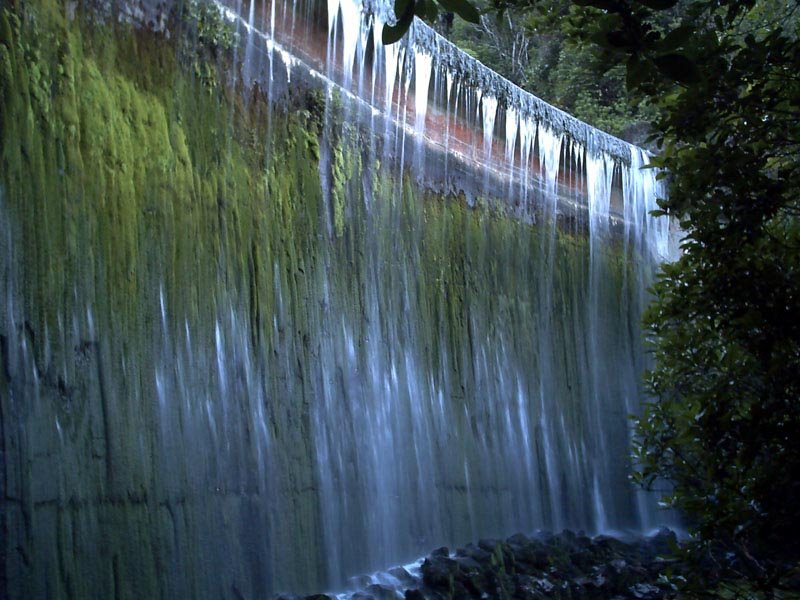
The dam, built in 1929, supplied water to Upper Hutt until the Kaitoke Scheme started in 1954. From here, you'll continue 1 km downstream and over a suspension bridge to the end of the trail.
You can choose to start or finish the trail from Tulsa Park or Bridge Street in Upper Hutt:
Tulsa Park
Take State Highway 2 to Upper Hutt, then turn onto Totara Park Road and continue to the end of the street.
Bridge Road
Take State Highway 2 to Brown Owl, Upper Hutt. Turn onto Akatarawa Road and continue until you see the signpost for Bridge Road. The car park is located about halfway along Bridge Road.


